News brief from Wednesday, 18 November 2026 (utilities):

Marine geophysical surveys are planned south of the Peloponnese from 20 November 2026. For people visiting or living in Crete, the key point is that surveys in waters south of the island are described as a possible later stage in 2027, not part of the initial operation.
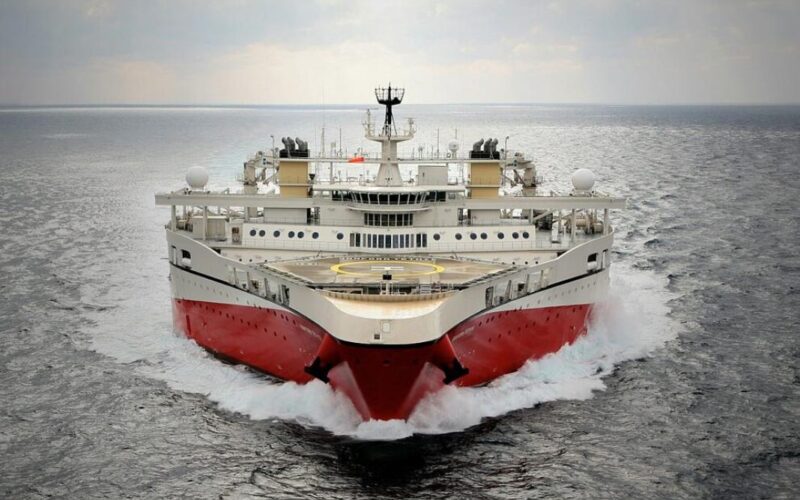
Creta24 reports that the Chevron–HELLENiQ ENERGY consortium intends to carry out the first surveys through 31 January 2027 in offshore areas south of the Peloponnese. The seismic research vessel Ramform Tethys is initially designated for the “A2” and “South of the Peloponnese” blocks.
An application has been made for cabotage exemptions for three foreign-flagged vessels: Ramform Tethys, support vessel Thor Freyja and escort vessel EDT Niovi. The report says some manoeuvres would affect Greek territorial waters. Port authorities and shipping associations were given until 19 November to say whether a suitable Greek-flagged vessel was available.
What does this mean for visitors or expates?
The announced first phase is south of the Peloponnese, not off Crete. Travellers may wish to check routine updates from ferry operators and port authorities when planning a trip; the reports do not identify any specific change to ferry services or tourism activity.
Possible later surveys south of Crete
ZarpaNews also describes the initial operation as running from 20 November 2026 to 31 January 2027. It says the consortium may move on in the following months of 2027 to the “South of Crete 1” and “South of Crete 2” blocks. Those surveys are presented as a later step in the programme, rather than work already under way.
The reports give the overall mapping area as approximately 47,000 square kilometres. They also discuss potential diplomatic tensions over the area south of Crete. Those concerns relate to the anticipated later phase; the coverage does not report an immediate effect on Crete from the surveys currently planned south of the Peloponnese.