Matala is a quaint seaside village located on the southern coast of Crete, near the ancient city of Phaistos. This charming location is steeped in history and natural beauty, making it a magnet for travelers from around the world. We find ourselves drawn by its alluring combination of crystal-clear waters, sandy beaches, and the iconic caves carved into the cliffs, which have a story of their own.
Matala on Crete: Unveiling the Charm of a Bohemian Paradise
Table of Contents
The Matala caves became famous in the 1960s, when they were home to a large international hippie community.
Location of Matala
From the Palace of Phaistos there is a turn-off to Matala, which is 7 miles (ca. 11 km) away. Before you reach Pitsidia after 4 miles (6.44 km) and after another mile you will notice a dirt road which leads to the right to Kommos, the old port of Festos.
Kommos Beach
This settlement flourished from the Neopalatial period to the Romans. During the excavations, a sacred complex with surrounding buildings were discovered, which dates back to the 1st century AD. The buildings in the southwest were probably warehouses or port facilities.
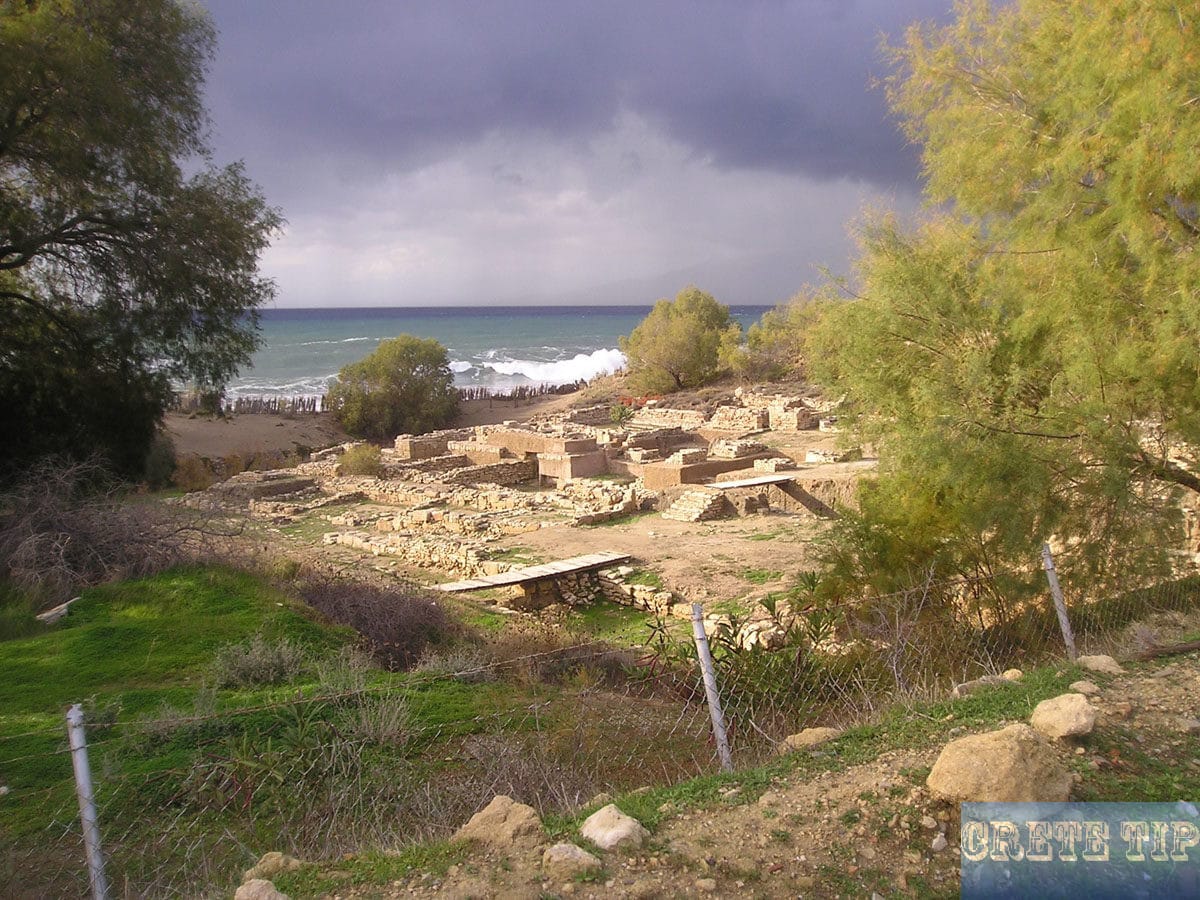
Kommos beach is a beautiful stretch of coastline on the south coast of Crete. Known for its soft, golden sand and crystal clear waters, Kommos beach offers a tranquil haven for visitors seeking relaxation and natural beauty. The beach is surrounded by rugged cliffs and picturesque landscapes, providing a scenic backdrop for sunbathing, swimming and water sports.
Kommos beach is also known for its natural surroundings, including the sand dunes and coastal flora and fauna. The beach is part of a nature reserve and offers a pristine environment for wildlife and bird watching.
This beach, which is an important site for sea turtles, strikes a balance between unspoiled nature and the necessary amenities, such as the presence of a lifeguard during the summer months.
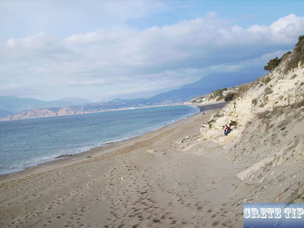
Visitors to Kommos Beach can enjoy a range of amenities, including sun loungers and parasols for hire, as well as beach cafés and tavernas serving traditional Greek cuisine. The relaxed atmosphere and stunning scenery make the beach a popular destination for locals and tourists who want to enjoy the beauty of the Mediterranean coast.
The village of Matala
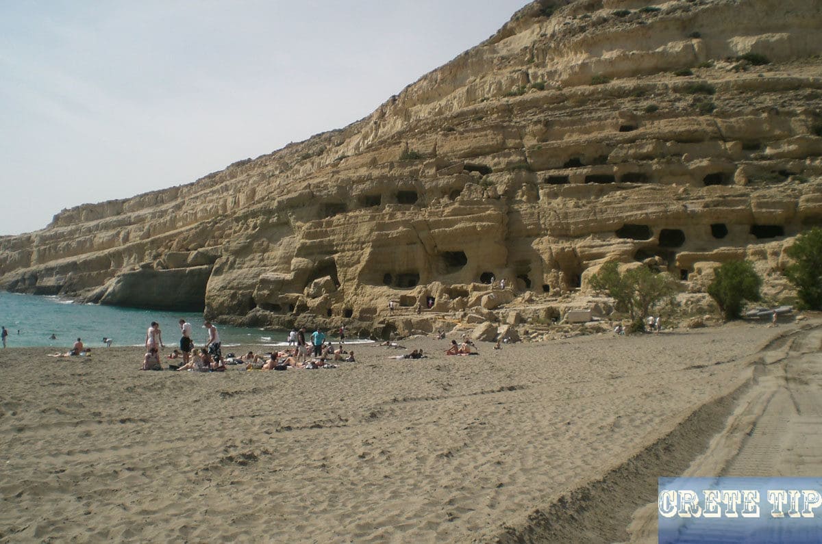
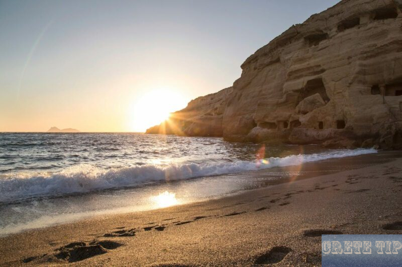
7 miles (ca. 11 km) further is the small village of Matala, which was the second port of Festos and later of Gortys during the Roman era. The caves with the sand beach and the semicircular bay are an impressive scenic phenomenon.
History of Matala
The caves of Matala were struck from the ocher, rugged and oblique layered sandstone rocks. The steep walls of the valley, which is open to the sea, had probably been used for living caves since the 6th millennium BC. The soft sandstone can be worked even with very simple stone tools.
The Minoans had their main ports further north in the already mentioned and closer to Festos located Kommos, where excavations still take place, but the protected bay of Matala could have been probably also used.
The saga also tells us that Zeus had landed here in Matala in the form of a bull with Europe on his back. Homer writes that Menelaus suffered here a shipwreck on his return from Troy.
Finally, for the Romans, Matala was the most important port, along with Lendas.
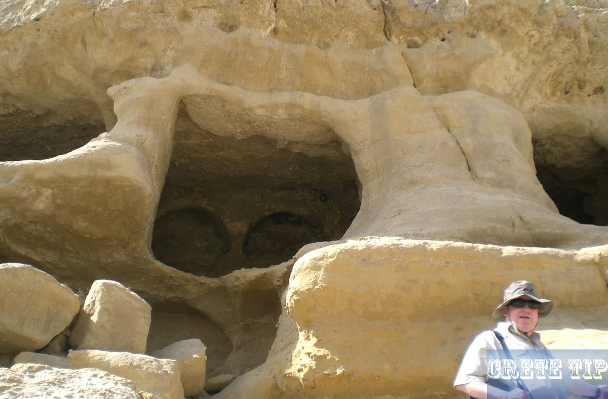
Thus, it is only certain that all the caves were man-made, and that they were first built and arranged as Roman and early Christian graves. The first Christians used the caves as tombs and created sarcophagi inside.
However, since then, they have been used repeatedly and in any different way, so that it is impossible to establish how they had originally looked or were created.
Some caves have windows and doors and cut-out seats or beds, which were probably once grave slabs. Others are not more than cut-out cavities. The locals also lived in them time and time.
In the year 823 AD, the Saracens landed in Matala, from where they besieged and destroyed the provincial capital of Gortys and finally conquered Crete. In WW2, the caves were used as ammunition dumps.
The hippies in Matala
But the caves of Matala became only really famous in the 1960s when they were the abode of a large international hippy community. It was supposed that Cat Stevens, Bob Dylan, and Joni Mitchell were here: ‘they’re playing the scratchy rock and roll’ from the 1971 album ‘Blue’.
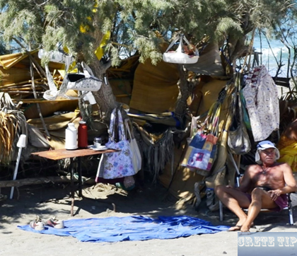
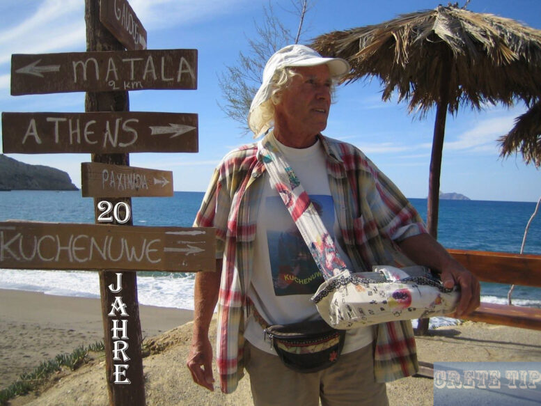
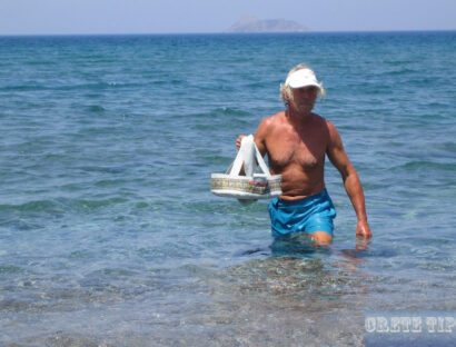
Kuchenuwe (‘Cake Uwe’), on the other hand, can still be found from time to time on the nearby beach of Kommos and has published his hippie stories from the 1970s and 1980s in a book.
As a contemporary witness, however, he reports that Scotty had never been a real hippie in his life, but only came to Crete around the year 2000 and was also very fond of alcohol. He is said to have been thrown out of Lentas for stealing from people on the beach. He then came to Matala and was not marketed as a hippie until 2011, as a ‘real hippie’ was needed for the annual hippie festival that was introduced at that time. In fact, the original hippies were not exactly welcome by the locals in their days!
In the meantime, Kuchenuwe’s life here has unfortunately been made quite difficult for some locals by the authorities, as you can read in one of his stories here.
The time of the great Hippy community ended only when the Greek authorities placed the site under monument protection and shut down. The Hippies moved on to the palm beach of Vai for a limited time.
Today, the caves are fenced and can be visited daily from 10am to 7pm from April to September. At night there is a police patrol, and they are illuminated by floodlight, so that no one can enter there anymore.
In winter, however, the site is often not locked and can be visited at any time.
Matala Beach Festival
The small village of Matala is a place steeped in history with a cultural heritage that still resonates through its festivals and ancient sites. Here you will get an insight into the vibrant mix of music, life and history that Matala offers.
The spirit of the sixties comes alive at the annual Matala Beach Festival, an event that embodies the free spirit of hippie culture.
The festival takes place on the sandy beaches that once hosted icons such as Joni Mitchell. The song ‘Carey’ reflects the festival of love, art and music.
Visitors can enjoy music from tribute bands and original artists who keep the legacy of stars like Joan Baez and Bob Dylan alive for a new generation.
Local lifestyle and amenities
In Matala, we find a delightful blend of traditional charm and modern comfort that appeals to both locals and travelers.
Matala’s lifestyle is closely linked to its origins as a fishing village and its transformation into a center for leisure and culture.
Culinary delights: Tavernas and restaurants
The tavernas are at the heart of Matala’s culinary scene. With a focus on fresh, local produce, the tavernas serve a variety of Cretan dishes prepared with the flair that only traditional, family-run establishments can offer.
Here you can enjoy dakos, a tasty staple of barley rusks with tomatoes, mizithra cheese and olive oil, or a plate of freshly grilled seafood delivered daily by local fishing boats.
The restaurants in the area bridge the gap between past and present, offering both international dishes and local cuisine.
A meal in these restaurants is not just a meal, but also a cultural experience, with the gentle lapping of the sea waves and a glass of raki to toast the evening.
From fishing village to tourist town
Our beloved Matala has evolved from a simple fishing village to a lively tourist town.
While fishing is still an important industry – a testament to our heritage – the influx of tourism has brought with it a wealth of amenities.
Souvenir stores sell a wide range of artisanal products, from locally made olive oil soaps to ornate jewelry and souvenirs.
Undoubtedly, the change has brought with it an abundance of cafés where lively conversation flows as freely as the coffee.
Yet despite this growth, the village of Matala has retained the charm and relaxed atmosphere that has always characterized it.
As you stroll through the picturesque streets, the balance between tourism and tradition is palpable, offering a serene coexistence that we as locals appreciate and invite our visitors to respect and enjoy.
Visit of Matala
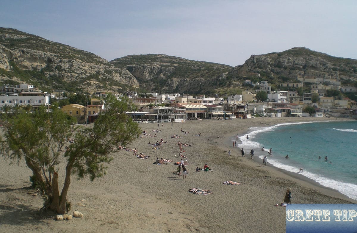
When arriving by car, one should use the parking behind the beach, which is indicated on the right when you reach the village. During the high season, however, this place can be full of cars and there is only a limited number of parking spaces (3 Euros) in the Hotel Street. If these are also occupied, there is only the possibility to find a parking facility on the side of the access road.
By bus, it is possible to reach Matala from Mires or Heraklion, where it stops directly at the entrance of the village.
It is true that there are still people who will tell you, that Matala with its hippy community in the caves, is ‘the most desirable tourist beach on Crete’ but these times – if they ever existed – are legends and the place is in spite of its fame surprisingly small and in 10 minutes everything of it could be visited.
Basically the place consists of a single pedestrian zone, which runs behind the beach. There is the market and numerous tavernas on the right, while the ‘old Matala’ is squeezed against the rocks on the left side.
More photos about Matala:

Explorations beyond Matala
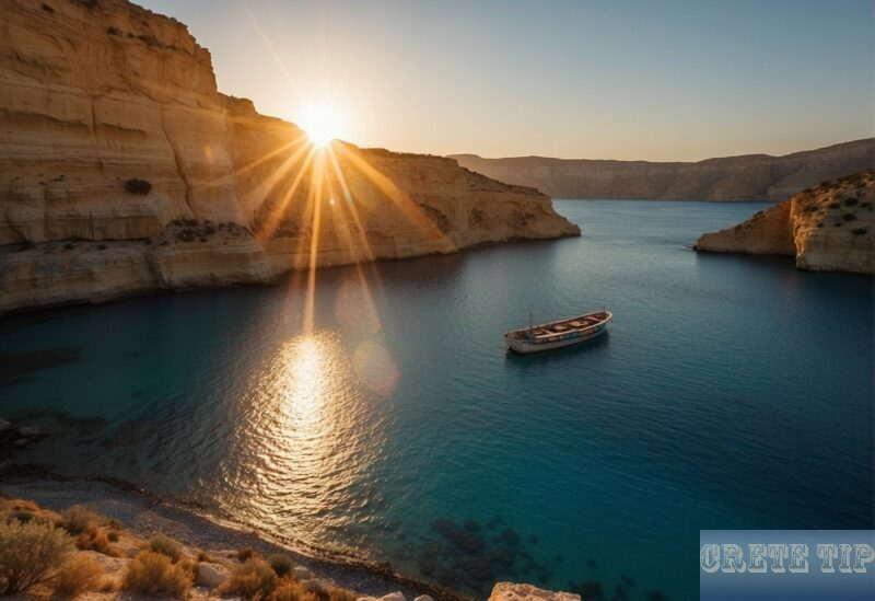
An excursion from Matala offers us the opportunity to discover the rich palette of landscapes in southern Crete, from picturesque towns to breathtaking beaches.
Discover southern Crete: Nearby towns and beaches
Our exploration tour beyond Matala takes us to nearby Pitsidia, a charming village where we can experience the authentic Cretan lifestyle.
It’s just a short drive from Matala and offers a quieter atmosphere, ideal for those of us who want to relax and enjoy the local culture.
As we approach the coast, a stunning tamarisk-lined beach awaits us at Kommos.
As we head east from Matala, the bay of Messara opens up before us, offering sweeping views of the southern sea.
The sight of the vast expanse of water invites you to pause for a moment and enjoy the tranquil beauty of the southern Cretan seafront.
Natural wonders: the beauty of the coast of Crete
As we continue our journey along the coast, we will recognize the stark contrast between southern Crete and the more developed northern coast.
Here, the naturally rugged terrain is less affected by tourism, allowing for a more intimate contact with the island’s natural environment.
Tip: other beaches nearby
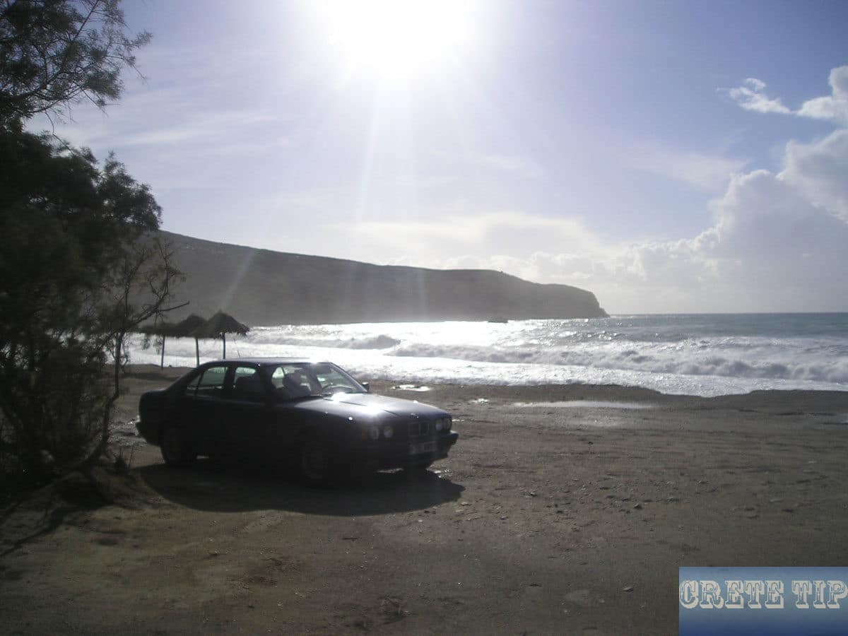
If the crowds on the beach in the semi-circular bay of Matala take over, you can reach the Kokkino Beach (Red Beach) in 20 to 30 minutes by foot. The route can also be covered by boat.
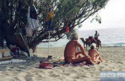
The reddish-golden beach with its nudists and the slightly downed ‘Kantina’ is located south of Matala and one either simply follows the ‘Hotel Street’ away from the place, where one meets an unobtainable path, but in sections not easy to walk.
There is an easier, but longer route from the village. This one is followed by the white arrows painted on the main street.
The Kommos beach, on the other hand, is in the other direction, north of Matala and one has to follow the gravel road from Pitsidia. There is a miles-long, natural sandy beach.
Hotels in and around Matala
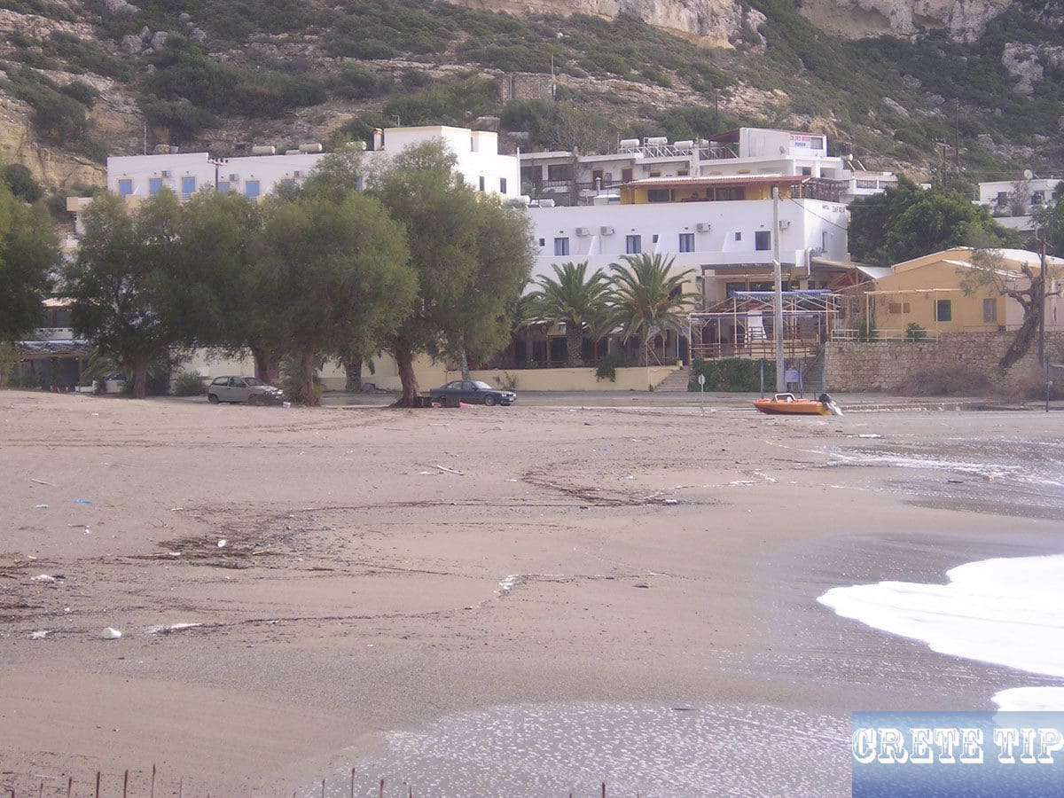
Overview of currently available hotels in and around Matala at the best price!
Video about Matala
(Duration 1 min 11 sec)
Directions to Matala
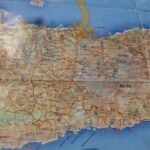
Click here: Directions Matala.


