Lasithi hikes: up to the Minoan settlement of Karfi, exploring trail E4 in the western part of the plateau and Havga Gorge.
Hikes on the Lasithi plateau
On the Lasithi plateau, it is significantly cooler and fresher than in lower-lying areas of Crete, so hiking here is usually possible until June and then again from September.
Karfi
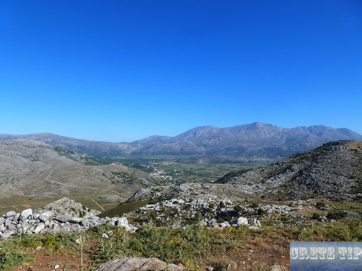
Minoan settlement Karfi on Lasithi plateau.
Karfi is a crucial Minoan village east of Diaselou tis Ampelou (Seli) which is placed at the borders of the areas of Heraklion and Lasithi.
The village was constructed on the eastern section of the magnificent limestone outcropping and experts say it populated the entire level space amongst the highs Small and Big Koprana and housed around 3,500 residents. The title Karfi (Nail), is unusual, and it was assigned afterward because its authentic historic title was ‘forgotten’.
The village started in the period when the Minoans were pursued aside by the Dorian people who occupied Crete. It was established about 1100 BC at the location where at the top of the mountain a temple at this time existed. At this high faraway historical holy location a tiny amount of Minoan culture lived through unharmed for around four hundred years following the occupation of Knossos. In the mountains of Eastern Crete a non-Greek dialect was still being existed and frequently written into Classical times, and the individuals who spoke it continued to be recognized as ‘Eteocretans‘ – ‘true Cretans’.
The historical value of the location was initially described by Evans, however the village itself was initially identified by the English archaeologist, Pendelebury (1937-39).
Not any other significant objects were found, most likely since the village wasn’t instantly demolished but instead progressively forgotten (maybe by the rough weather conditions there) its population, which took their important things away with them.
Also in Karfi a number of vaulted tombs have been discovered, most of them looted. The looters arrived in the event the snow begins melting so that you can find the burial plots. In locations where you can find graves, the snow melts faster, since the air underneath increases the temperatures.
Probably the most fascinating aspects of the ancient village is actually its arrangement of stone paved roads that highly looks like the structures of the present day settlements within the Lasithi region. The water supply to the historical village originated from Vitsilovrysi, “the source of eagles’, which can be situated close by and which used to keep much more water than it does these days.
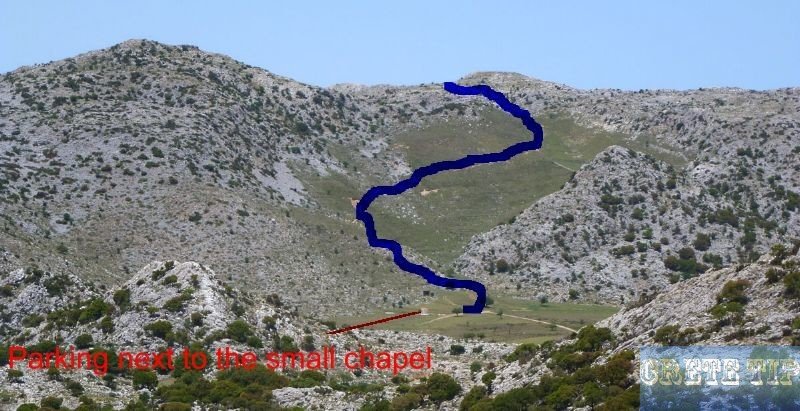
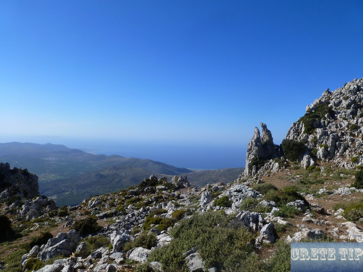
Karfi can be also reached via hiking from Tzermiado by way of a marked and satisfactory route that begins from the Papoura top (c. 1-hour walk on the E4 Lasithi hiking path) or the Nisimos plateau which goes through the Astividerou spring.
Directions to the hiking path to Karfi
Click here: Directions Karfi.
Lasithi hiking path
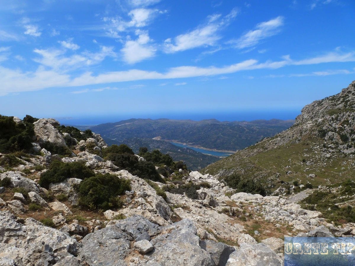
Exploring the hiking path E4 in the western part of the Lasithi plateau.
Across the plateau runs a network of interesting trails.
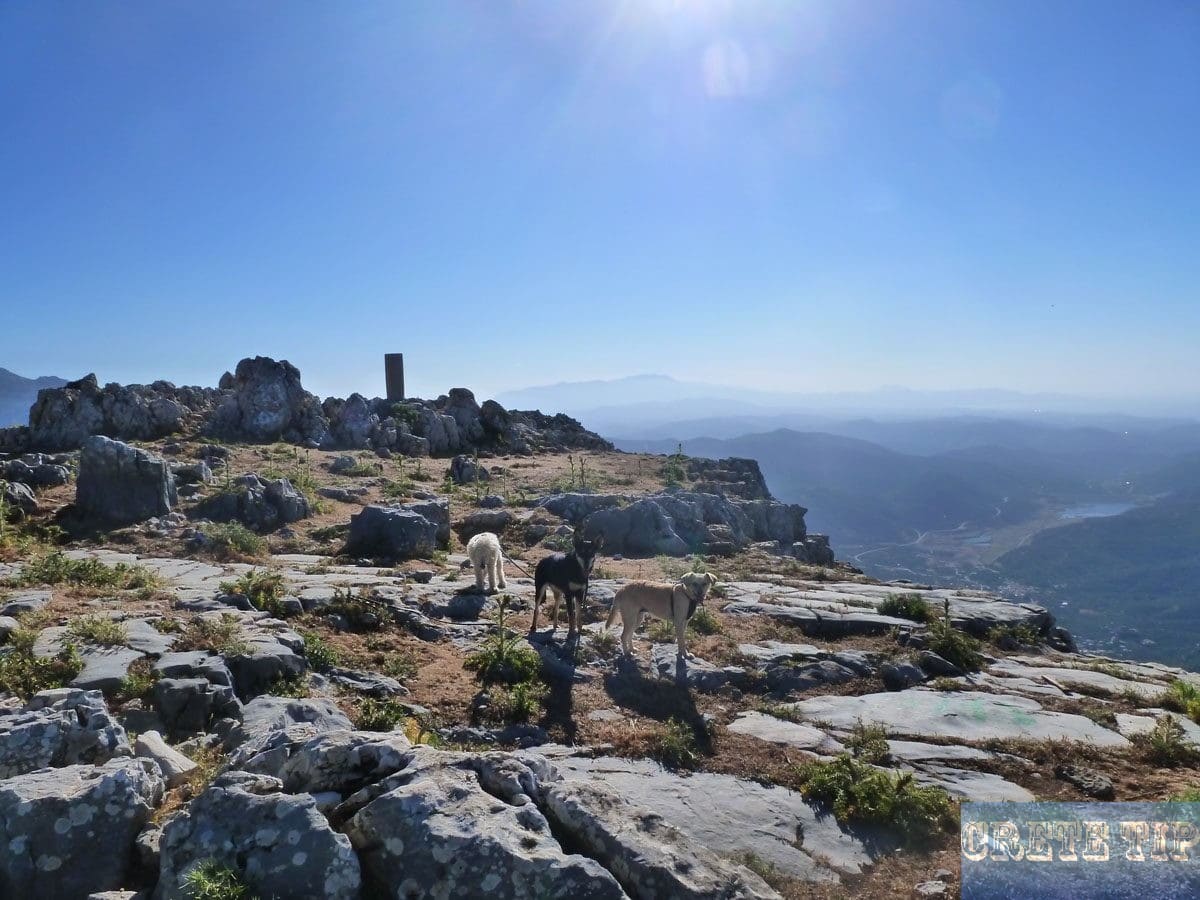
Across the Lasithi plateau runs a network of trails, which aroused my interest. So I set out with my rescue dogs to a first reconnaissance trip in the northwestern part of the plateau. The starting point was the Northwest ring road, where a dirt road branches off in the western direction between the village of Kato Metochi and the monastery Vidani – directly at the point where there is the sign for the monastery.

After driving a few hundred yards the car was stopped because the specified trail from there is hardly to drive yet and rapidly transformed into a walk-only path.

Arrival at the starting point of our expedition. All are ready to start.
This path is rudimentary equipped with signs for the E4 trail, but which are easily overlooked in some places. Which is why it can happen that you have to go back a bit to get back on the right path.
The sheep gates which you have to pass are marked with an attached hose like a horseshoe. These gates are everywhere on Crete and usually locked on one side with a cord or a piece of wire, which can be opened. After passing through the gate it must be closed by the other side, so that no sheep or goats may leave the premises.

The path seems to follow after a short time an old, ‘donkey road’, which led down to the level of Kasteli with the Byzantine church Pandeleimon near Pigi.
To the surprise, after climbing a short but steep slope (at this point one can speak of a climbing path instead of a hiking trail), you meet again the although unpaved but good road.

After walking a short while on the road you will encounter a large and from afar visible memorial stone. It recalls that at this place the ‘Turkish criminal Tsoulis Pasha was executed by locals for his atrocities against Christians’ more than 200 years ago. Also, the text outed that the path was probably already used by the Minoans. But in any case, its use goes back to the Venetian period.

Not far away there is a picnic area with stunning views on Kasteli with its (military) airfield and to the north to the coast at Hersonisos. Up to this point we were about 45-60 minutes on foot and stopped for a short rest.
Thereafter, however, we realized that the way leads a very steep descent about 550 yards (ca. 503 m) over a well-preserved mule track down from the Lasithi plateau towards Lytos. Unfortunately, it was obviously impossible to descend before dusk and again to return to the vehicle. The route down then hits a dirt road between Tichos and Lytos which continues to Kastamonitza. But for completing this route is likely to be needed about the two to threefold time.

In order to explore, the return trip took place now on the good road, which we went down much faster and easier than on the hiking path E4. When you move on the road yow will also pass the holy pilgrimage chapel of ‘Saint George Honos, Parish of Kato Metohi’.

The distance to the Tsoulis Pasha memorial stone with the magnificent view can be managed on any case without problems in no time by car. It is also possible for the next attempt to leave the car behind at this place and hike down from there.
Even better, it could be, however, if another person drives the vehicle to the destination point of the hike and waits there. This will certainly avoid the walker to have a considerably strenuous two to three-hour extra return trip back to the high of the Lasithi plateau.
Overall, the one-time route is approximately 4 – 4 1/2 miles over 550 yards difference in altitude and 3-4 hours can be estimated.
Video from Lasithi Plateau including panoramic views from the path E4
Video (2 min 40 sec) of the Lasithi Plateau
Directions to the starting point for the hike on E4

Click here: Directions to the starting point of the hike.
Havga Canyon
Havga Canyon on Lasithi Plateau.
Behind the impressive water reservoirs of the melt water from the snow peaks from winter is the easy to walk canyon.
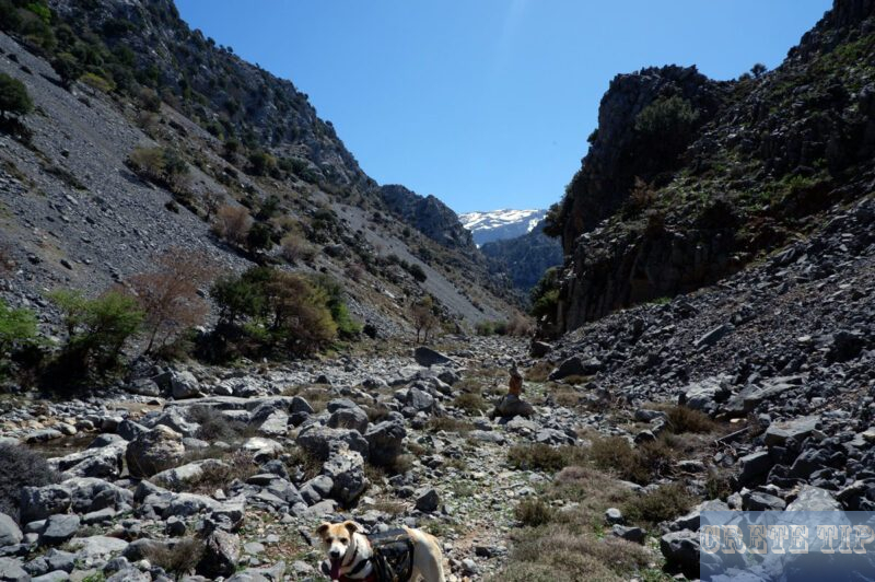
The Havga Canyon on the Lasithi Plateau is in contrast to the Ha Gorge easy to commit.
Many years ago, the nearly 2,950ft (ca. 899 m) high Lasithi Plateau was mainly known for its picturesque windmills. After the sails have disappeared at the old windmills and the electricity has taken over the water pumping, on the agriculturally important plateau above just the Zeus cave at Psichro is the tourists’ magnet. In the heat of the high season countless bus tourists arrive here every day.
Not too far away, to the east, by the water reservoirs behind Agios Georgios, is the Havga Canyon. Practically to the entrance of this canyon, you can also drive and park. The canyon ends at the eastern edge of the plateau and is easy to walk in the beginning. Afterwards, however, the high peaks on the southern edge of the Lasithi Plateau can only be reached by experienced climbers.
You can reach the Havga Canyon from Agios Georgios by driving about 1.5 miles (2.5 kilometres) in the direction of the water reservoirs to the south (reservoir for the melt water of the snow-covered peaks).
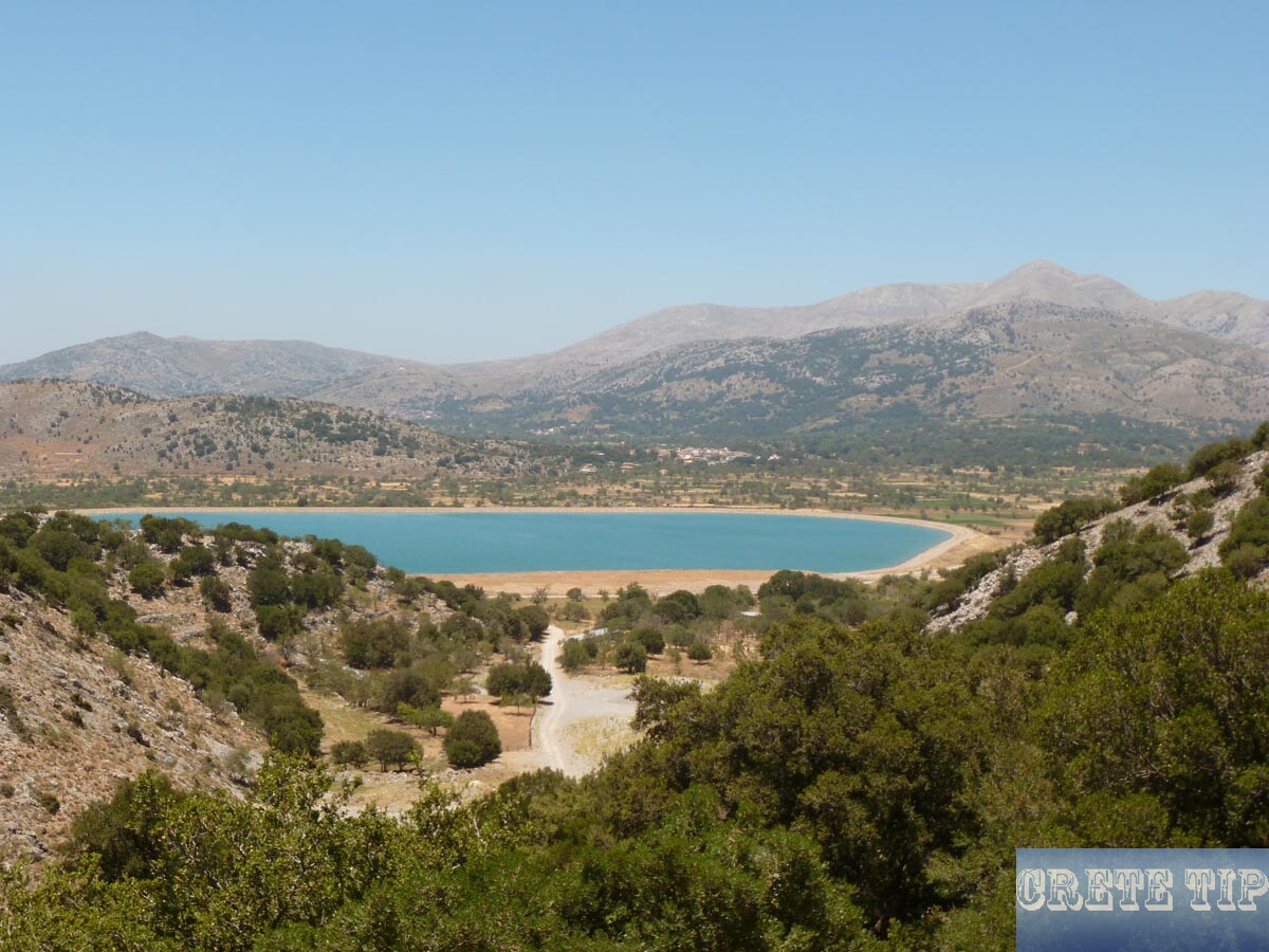
This is best done by turning left about 165 yards (ca. 151 meters) after the church into a narrow lane with the sign ‘Havga Canyon’. At the next crossroads turn left again, then immediately right and after another 330 yards (ca. 302 meters) turn left onto a gravel road. Shortly after, turn right again and follow the small, brown signs to one of the fenced, large water collection basins.
Now you drive along the fence and at the end of the basin you keep left. About 1,100 yards (ca. 1,006 m) further on, turn right in front of a vineyard and shortly thereafter park your car in front of a weir at the entrance to the canyon.
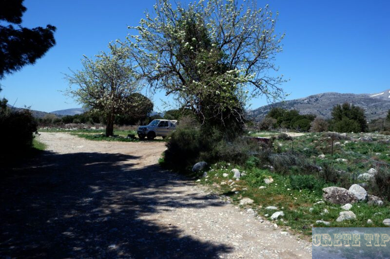
The difference in altitude in the easily walkable section of the Havga canyon is only 55 yards (ca. 50 meters) and for the ascent and descent one hour and 30 minutes can be scheduled.
In spring, when the stream carries the meltwater to the reservoir, you should allow about two hours and it is advisable to wear waterproof hiking boots, as you often have to cross the stream over stones or boulders lying in it.

From the car park at the weir, we walk through a metal gate on a gravel road in the direction of the Havga canyon entrance. This still well-navigable path ends at a small enclosure for goats and other farm animals, and now there is only one path that leads further into the gorge.
In the middle of the ravine bed, a large rock protrudes with a yellow arrow, which indicates the direction of the march. There are further signs on the edge of the path, where several times the side of the dried stream bed with pebbles is changed.
After twenty to thirty minutes, you will reach a fork at a height of just over 2,950ft (ca. 899 meters). To the right is a path marked to the chapel Timos Statvros. The canyon continues to run around the creek bed and after a light accumulation of Cretan maple and holm oak you must now march on inside the creek bed.

At 3,028ft (ca. 923 meters) you reach a massive wall of huge boulders. In the centre, these can easily be climbed over, but then the area is no longer frequented by people and is therefore very impassable.
Therefore, it is recommended to stop at this point in the hike and reverse.


Directions to Havga Canyon

Click here: Directions Havga Canyon.

