Drones Scan the Samaria Gorge and a Precipitation Study: Innovative Research in Crete’s Iconic Canyon.
Safeguarding Samaria Gorge: A New Operational Model
Enhanced Safety Measures and Weather Forecasting
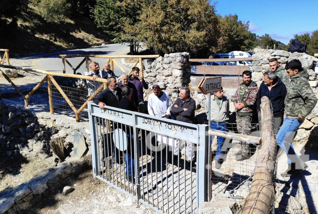
The Samaria Gorge, a renowned national park in Western Crete, is set to reopen in spring with a fresh operational approach. This new model prioritises visitor safety and incorporates more precise weather predictions. The gorge, which closed for the winter season on 31 October, will implement these changes following a tragic incident involving a 33-year-old tourist.
The unfortunate event, caused by a rockfall after rainfall, led to a temporary closure and sparked discussions about necessary alterations to the park’s management. These talks focused on determining the conditions under which the gorge should remain open or closed to the public.
Since its reopening on 28 September, the gorge faced 11 closures in the final month of operation. This number exceeds the typical closures for an entire tourist season. The Management Body of Protected Areas of Crete (MBPAC) based these decisions on weather forecasts from the National Meteorological Service.
These forecasts predicted potential rainfall ranging from 2 to 5 millimetres, though these predictions often proved inaccurate. Local business groups in Agia Roumeli frequently shared social media images showing sunny, summer-like conditions, contradicting the forecasts that led to closures.
This situation caused significant frustration among local residents and those working in the tourism sector connected to Samaria Gorge. As one of the top tourist destinations in the region, the national park supports various professional sectors. This highlights the critical need for highly accurate weather forecasts.
Advanced Terrain Mapping and Rock Removal
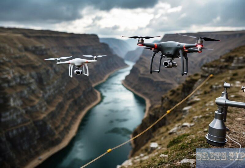
To enhance safety within Samaria Gorge, authorities plan to implement cutting-edge technology for terrain analysis. This approach includes the use of drones for autonomous navigation and mapping, which will provide detailed 3D models of the gorge’s slopes.
These high-resolution models will help identify potentially hazardous areas, particularly those with loose or overhanging rocks. By pinpointing these risks, teams can proactively remove dangerous rocks before they pose a threat to visitors.
The process involves several steps:
- Drone surveys: Regular flights to capture comprehensive imagery of the gorge.
- 3D modelling: Creation of detailed terrain models using advanced software.
- Risk assessment: Analysis of the models to identify potential hazards.
- Targeted removal: Carefully planned operations to remove or secure risky rocks.
- Ongoing monitoring: Continuous surveys to track changes in the gorge’s geology.
This proactive approach aims to significantly reduce the risk of rockfalls and landslides, enhancing overall safety for visitors to the Samaria Gorge.
The implementation of these measures reflects a broader trend in landslide risk management, incorporating remote sensing technologies to better understand and mitigate geomorphological hazards. This is particularly crucial in areas like Western Crete, where the rugged terrain of the White Mountains presents unique challenges.
As climate change continues to impact weather patterns and potentially increase the frequency of extreme weather events, these advanced monitoring and management techniques become increasingly vital. They not only protect visitors but also help preserve the natural beauty and ecological integrity of the Samaria Gorge National Park.
Common Questions About Drone Research in Samaria Gorge
How are unmanned aerial vehicles used to chart Samaria Gorge’s landscape?
Drones equipped with high-resolution cameras and LiDAR sensors fly over the gorge to capture detailed imagery and elevation data. This allows researchers to create accurate 3D models of the terrain. The drones can access remote areas that would be challenging to survey on foot.
What instruments do drones carry to record rainfall and weather data?
Modern drones often have onboard weather stations with sensors for temperature, humidity, air pressure, and wind speed. Some carry specialised precipitation gauges or disdrometers to measure rainfall intensity and droplet size. Advanced models may use radar or microwave radiometers for atmospheric profiling.
What advantages do drones offer for environmental studies in rugged areas?
Drones can:
- Reach inaccessible locations safely
- Gather data quickly over large areas
- Provide high-resolution imagery and measurements
- Reduce human impact on sensitive ecosystems
- Allow frequent repeat surveys to track changes over time
Are drone-gathered precipitation statistics reliable for extended climate analysis?
When properly calibrated, drone sensors can provide accurate rainfall data. However, long-term studies require consistent methodology and regular instrument checks. Researchers often compare drone measurements with ground-based weather stations to ensure reliability. Drones are most useful when combined with other data sources for comprehensive climate monitoring.
How do drones help maintain hiking paths and enhance safety in places like Samaria Gorge?
Drones assist trail management by:
- Identifying hazards like rockfalls or erosion
- Spotting unauthorised paths or camping areas
- Assessing vegetation growth and fire risks
- Locating lost or injured hikers quickly
- Surveying damage after storms or natural disasters
What obstacles arise when using drones for climate research in protected natural areas?
Key challenges include:
- Strict regulations on drone use in national parks
- Limited flight times and range of current battery technology
- Potential disturbance to wildlife, especially during nesting seasons
- Difficulty operating in windy conditions common in gorges
- Need for specialised training for pilots and data analysts
- Integrating drone data with existing climate models and datasets

