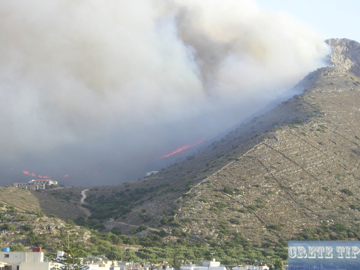
The sunken, ancient city of Olous between Elounda and the Spinalonga peninsula with beaches and hiking trails.
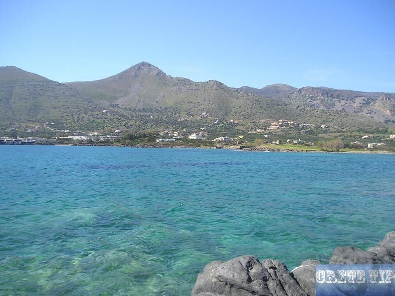
One kilometer east of Elounda, near the windmills on the peninsula of Spinalonga under the clear blue sea, sleeps the sunken ancient city of Olous. In today’s place name of Elounda lives the ancient Greek term ‘Olous’.
Olous
Olous, the sunken ancient city near Elounda.
History, deities and the say of Britomartis, sunken in the sea and today remains like the old basilica.
Sunken ancient city of Olous
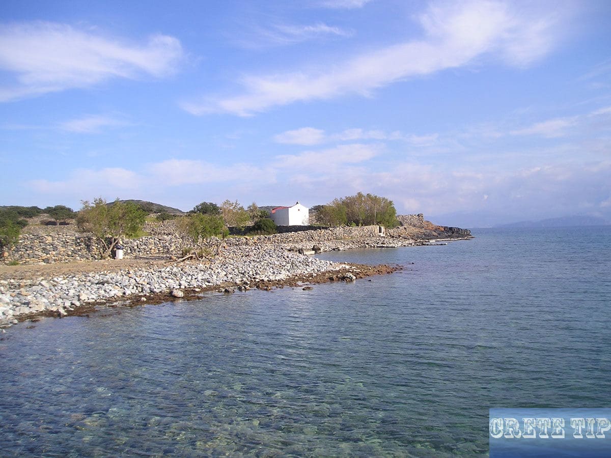
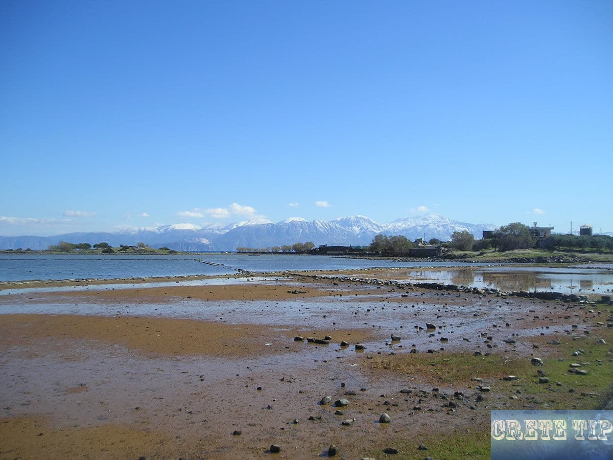
On a day with dormant winds and waves it is possible to see the ruins of the famous city under the water level, next to the chapel of Anlipsis.
Olous was one of the approximately one hundred cities, which existed in Crete already in the Minoan age from approximately 3,000 to 900 BC. Olous became later the port town of the Doric mountain town of Dreros, which controlled the north around today’s Neapoli during the first millennium BC. The city had a famous Apollo sanctuary with the bronze group of Leto, Apollo and Artemis, which are exhibited today in the Archeological Museum in Heraklion.
The height of his power reached Olous between the 5th and 2nd century BC and had about 40,000 inhabitants. The city was on the same level as Lato, Gortys, Ierapitna (Ierapetra) and Driros.
At times during its history, the city was also ruled by Knossos, as witnessed by founded stone panels there.
Olous had good relations with Ierapitna, but in constant conflict with neighboring Lato.
Olous was a very lively and prosperous democratic community, and the election of a new mayor took place every year. The city was autonomous and had its own coins and water supplies.
Deities
All the gods and goddesses of Greek mythology were worshiped in Olous, but as in most of the cities of Crete, there were also local gods.
Each year there was a celebration in honor of a deity named Britomartis, which means ‘Sweet Virgin’ in a special Cretan dialect.
Many stories have been handed down about Britomartis. This includes one, in which the divine girl was so beautiful that King Minos was so enchanted by her that he always wanted her. Britomartis fled from the king, and after reaching the region of Olous, she threw herself into the sea to kill herself.
But she was caught by the nets of some fishermen and was taken to the city, and after hearing her story, the citizens decided that she really had to be a goddess to have survived these torments. So she became the goddess of Olous and the sculptor Daidalous created a great statue of her.
Another myth about the city is the story about the ‘Hundred Fountains’.
Since the inhabitants of the area were afraid of the many pirates who could steal their gold and treasures, they dug one hundred fountains on the mountains of Oxa, south of Elounda. Ninety-nine of the wells contain only water and were all found. The last remaining well will contain all the riches of the old town and has not yet been discovered.
Sunken in the sea
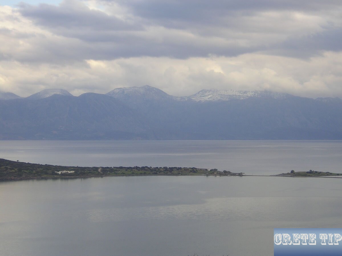
There are contradictory theories why Olous is sunk in the sea. One assumption is that the city was first destroyed by the volcanic eruption on Santorini in the year 1,540 BC.
Since the city still had a significant history and in any case still into the 2nd century BC., it is more likely that it is more or less naturally and slowly sunk. Until today, the east of Crete is continually declining, while the west continues to rise and the entire island slowly migrates westwards.
In the 4th century AD there was a significant ‘migration’ of Crete, when the east fell sharply and the West rose. Olous will finally be sunk, and the Spinalonga peninsula was only connected to the mainland by the marshy isthmus.
Some old artifacts found in the old town can be seen in the Archaeological Museum of Aghios Nikolaos.
Of the ruins, which date back to Roman times, there is still little to see, since from the 15th century the Venetians used everything they could find in the area – including the stones of the ancient ruins – to construct the salt-producing plants and the Fortress of Spinalonga.
Basilica
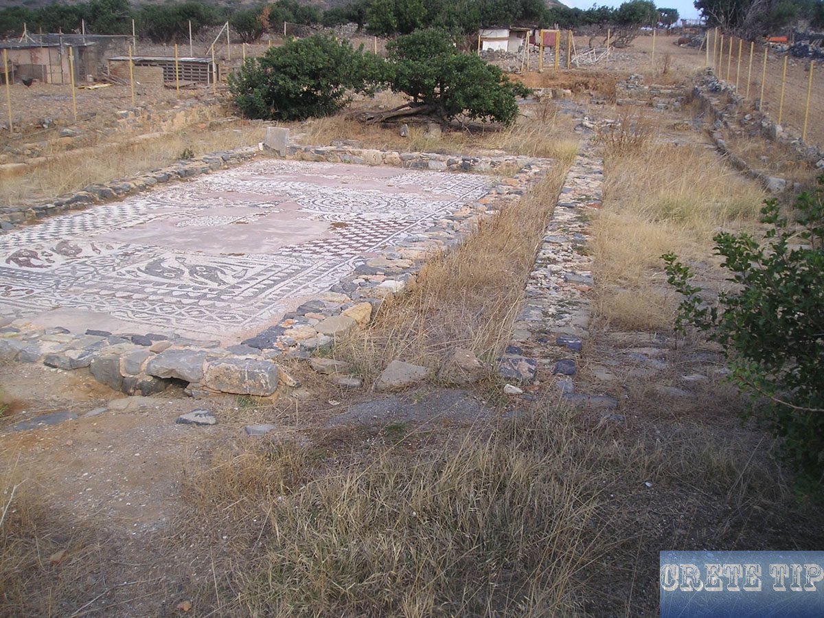
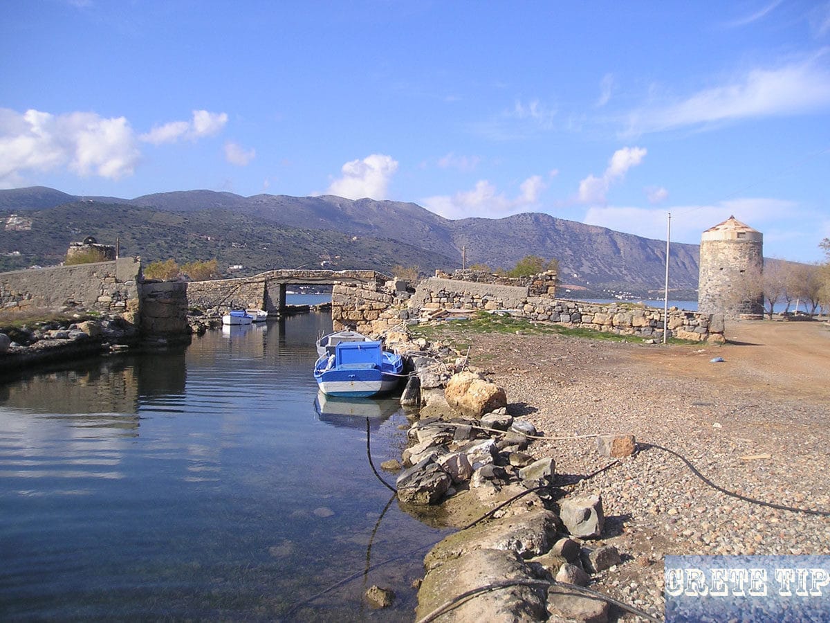
Building walls and remains of the old port facilities can still be seen in the sea or under the water level. And even during the Byzantine rule, this area still had a certain importance, as there are ruins of a three-aisled basilica located behind the ‘Canal Bar’ (a restaurant behind the bridge near the mills).
The floor mosaics of the Basilica of Olous are among the best preserved on Crete, but are sometimes covered. It was built during the second half of the 5th century AD and originate from early Christian times. The mosaics show fishes and geometrical motifs, and two inscriptions preserved in fragments, which mention Theodoulos, Antaxios, and Helidoros as donors.
Probably, many artifacts and parts of the ruins are still waiting under the earth or the sea bottom. Therefore, the ground is under archaeological protection, and it must neither be built nor dug.
Tips
On the dam across the Isthmus to the bridge is a long sandy beach, and on the opposite side behind the old salt mines a pebble beach.
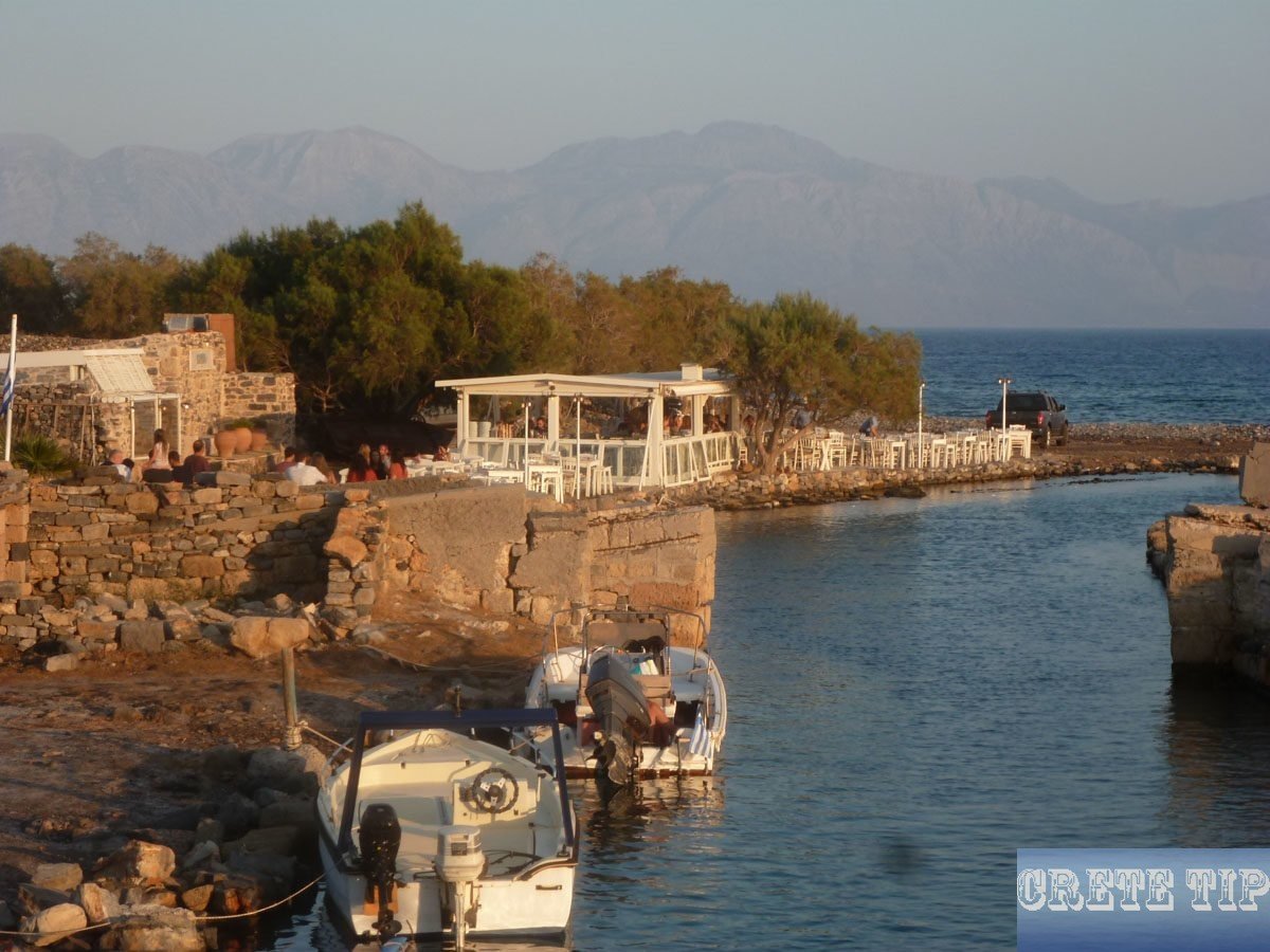
Also, a visit to the ‘Canal Bar’ with a wonderful view over the Gulf of Elounda and the Gulf of Mirabello is recommended during a visit of the area.
How to get to the chapel of Anlipsis at the ruins of Olous
Click here: Direction to Olous.
Peninsula of Spinalonga
Walks, hiking and swimming at Kolokitha and other sandy beaches on the peninsula of Spinalonga in front of Elounda and the fortress island.
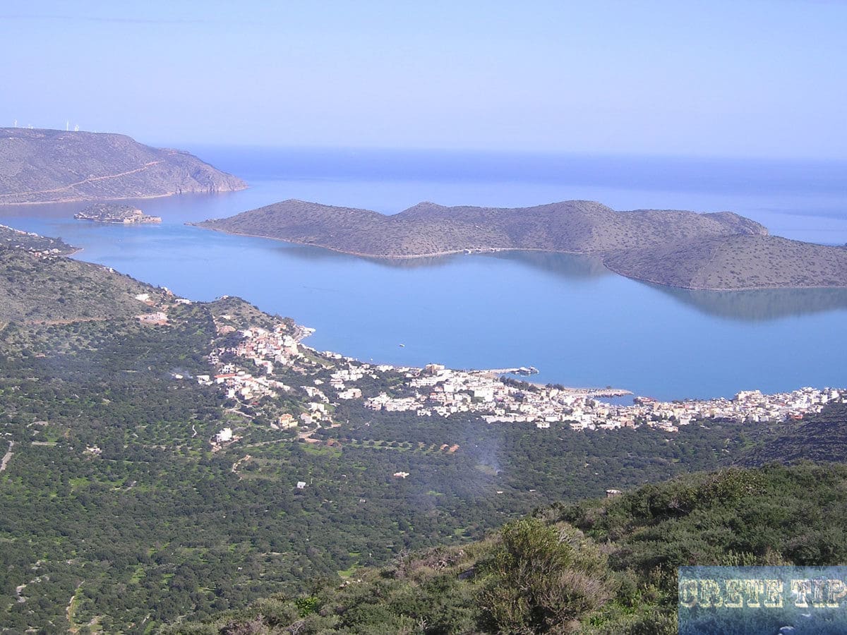
In general, the island in front of Elounda is called ‘Peninsula of Spinalonga’ (meaning ‘long thorn’) or named on maps as ‘Kalydon’. Among the locals it is called ‘Kolokitha’, also to clearly distinguish it from the fortress island of Spinalonga.
Actually ‘Kolokitha’ is no longer a peninsula, since, at the end of the 19th century, French engineers laid a small canal for boats through the marshy isthmus and built a bridge over it.
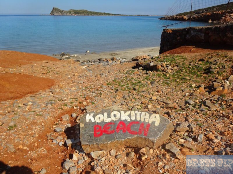
Kolokitha Beach
In the east you can reach almost the Kolikitha beach by a passable path by car. Near a small church, there is some parking space in the grounds, as the approximately 10-minute walk down to the sea is hardly suitable even for a Quad Bike or SUVs.
Drone impressions of Kalydon with Kolokitha Beach:
At the shore, there is a short stretch of sandy beach in the bay and to the left, along the coast towards the north, you can see the remains of a Roman villa and the Fokas church. There is another, narrow sandy beach.
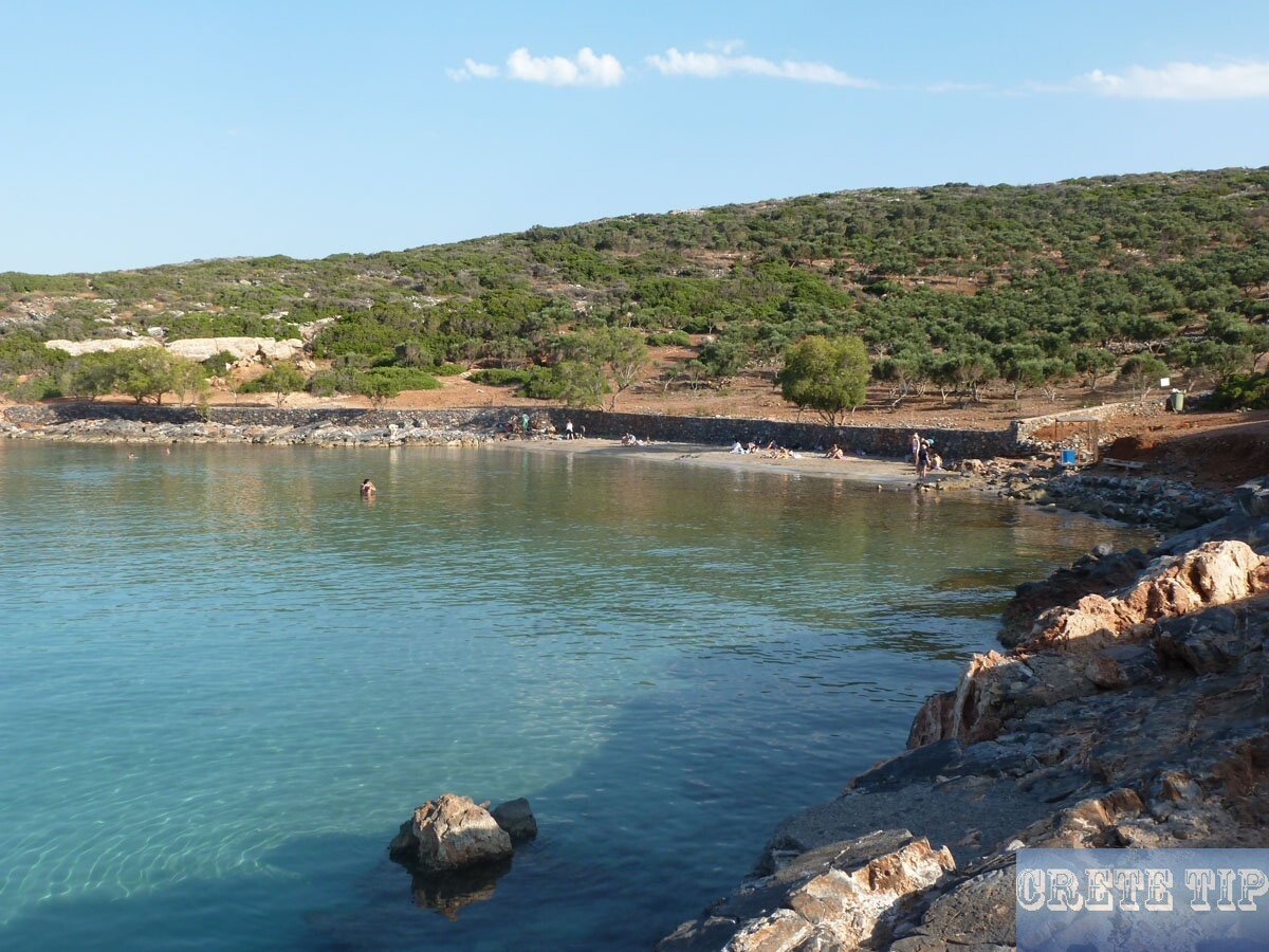
At this location, the Byzantines under their General Nikiforas Fokas landed in 960, when they recaptured Crete from the Saracens. Fokas was become later the Byzantium emperor and in memory of its successful landing, the Fokas church was built at the beach of Kolikitha. However, until today many parts and artifacts were stolen from the church and are scattered in all the winds.

In front of the Spinalonga peninsula is another small and bare island in the sea called Agii Pundes, where the attempt failed to settle the Cretan wild goat ‘Kri-Kri’.
The beach is crowded during the day in the main season and especially on hot days, where many locals also join, as it is visited by many excursion boats from Elounda and Aghios Nikolaos.
However, further south along the coast, there are two more, beautiful sandy beaches, which only a few visitors know. Follow the paths, which are only slightly more difficult to walk along the cliffs after the sandy beach Kolikitha. The other beaches are about 10 to 15 minutes walk.
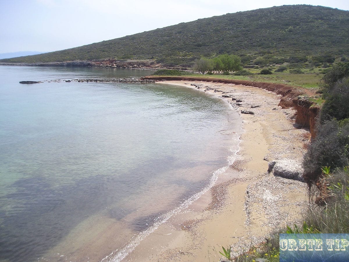
Also, with a small boat both beaches are easy to reach. They are long, sheltered and the water is shallow and falls slowly to the open sea.

To the south of the peninsula
If one follows the beaches along the coast and climb up the cliffs, one reaches an area where in WW2 a position for a German coastal battery was. This can already be seen from the old barbed wire, which secured the position to the land side. The author has not discovered any of the old landmines, and if there are any leftovers, the many goats have already been removed in the course of time. Solid shoes and longer pants against thorns are recommended here.
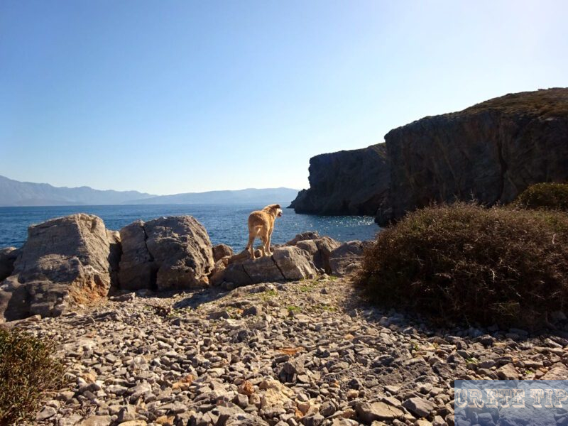
During the German occupation on Crete, the Gulf of Mirabello was protected by a coastal battery on the Spinalonga peninsula and another on the opposite shore. At the end of the war, the guns were dragged out of their positions and cavern bunkers by the German soldiers and thrown over the cliffs. The remains of the guns are now a popular destination for divers (more about this in the subsequent video).
If one follows the coastline further south and then west again towards the bridge to the peninsula, you will find old salt mines and quarries.

Along the east coast and across the peninsula
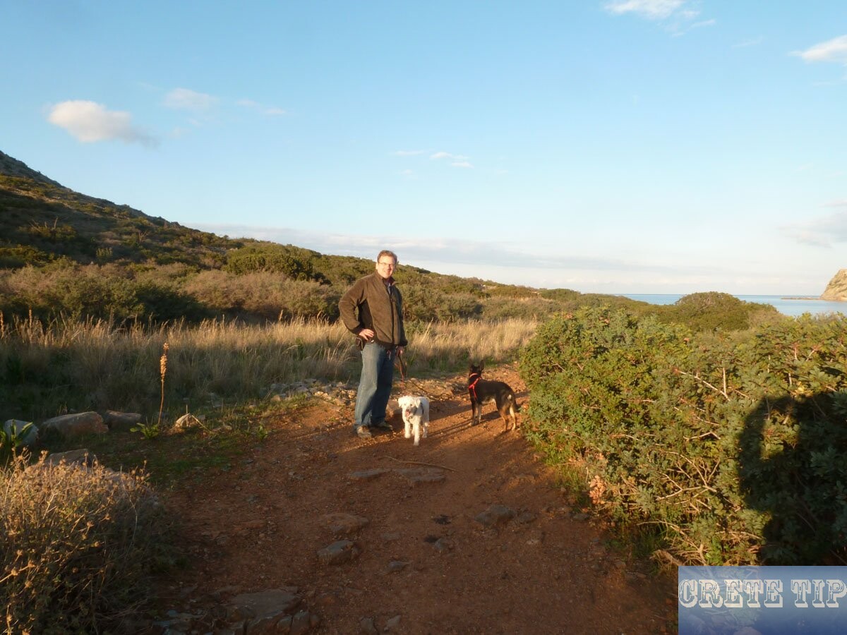
If one follows from Kolikitha beach the path along the coast to the north, one will reach the beautiful, small chapel Agios Fokas on a narrow land. The path is not difficult to walk and it is a beautiful, 20 to 30-minute hike.
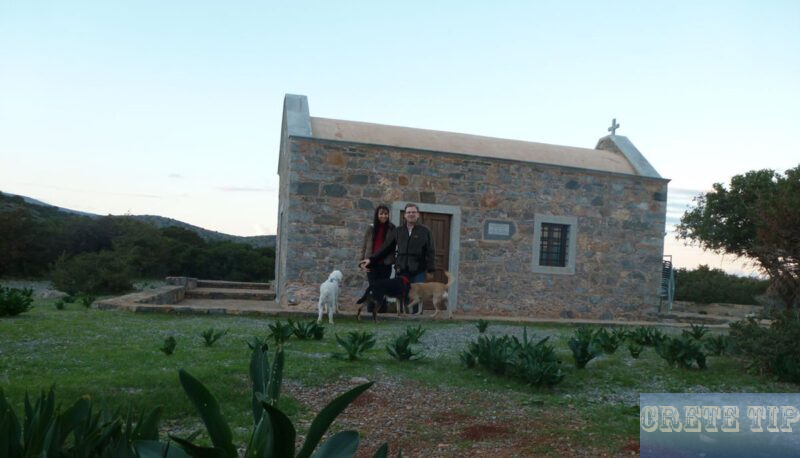
From here one can also cross the Spinalonga peninsula via small paths. However, one has to climb over and over across some old, dilapidated stone walls and there are also some steeper sections up and down (but no climb is necessary) and there is much wild growth. Solid shoes and long trousers are essential.
In some places the path was not always clearly recognizable, but in the meantime trail markers have been erected. In the past, the local shepherds often clearly marked the paths with high stones placed on top of each other, which are clearly recognizable as man-made.

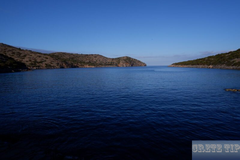
When one cross the small hill, one can see a beautiful, remote bay. From here one follows the path to the west and reach old cisterns and masonry on a narrow hill.
There one will find an old donkey trail with tall stone walls to the left and right. Follow this road southwards down to Elounda Bay, where one can reach a lane which is suitable for cars. Simply follow it until the bridge over the Isthmus.

To the north end

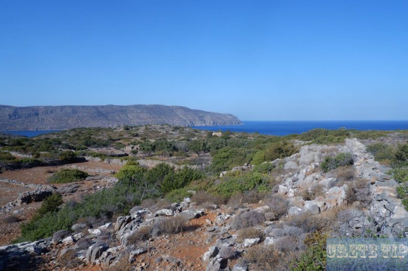
The donkey path just described can also be followed in the other direction – to the north. This is a nice and somewhat longer hiking trip and you can almost reach the coast opposite the fortress of Spinalonga. However, here also solid shoes and longer trousers are recommended to protect against thorns.
The donkey trail leads after a deep incision and subsequent height, which is somewhat hard to reach, to an old, long abandoned settlement, of which only a few remains are existing, except for the small church Agios Ioannis. The donkey trail is not to be overlooked and good to be done.
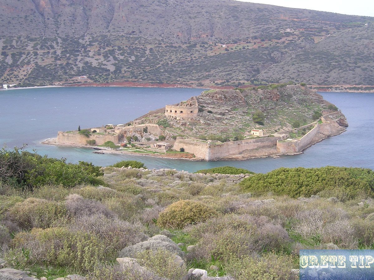
Afterwards, however, it is somewhat more difficult to find a path up to the fortress of Spinalonga, which is not densely grown.
In this area is an ancient site called Amilka, about which is not much known. Early historians mention the place and it is named after the son of Atridis, the king of Lacedaemonians (around 1,200 BC.).
There are graves and even fossils were found with impressions of human bodies, and rocks and stones were also clearly worked on by humans.
There are probably more testimonies of this ancient site in the sea or are buried under the volcanic lava from the eruption on Santorini.

Video about the peninsula of Spinalonga
(Duration 5 min 37 sec)
Directions and paths on the Spinalonga peninsula
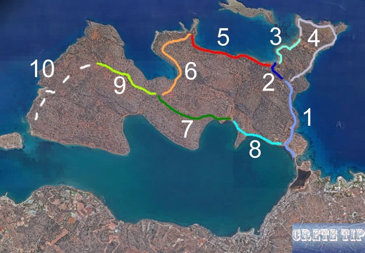
Route 1 (for cars): Access to the pitches in front of the beach of Kolikitha (about 1,000yds).
Path 2: walk down to the beach of Kolikitha (about 200yds).
Path 3: walk to the other two, remote sandy beaches (about 600-800yds).
Path 4: Hiking path along the cliffs at the southern end to the old artillery position and stone quarry (about 1 mile (1.61 km)).
Path 5: Walk to the Agios Fokas chapel on the eastern part of the island (on the way you pass the remains of the Fokas church shortly after the beach of Kolikitha, about 3/4 mile).
Path 6: Cross-country path to the center of the peninsula (about 3/4 mile)
Path 7: Donkey trail (about 1,000yds)
Route 8 (for cars): to the bridge at the isthmus (about 800yds).
Path 9: Donkey trail to the north (about 1,000yds)
Path 10: Cross-country hiking path to a small bay with beach and opposite the fortress of Spinalonga (about 1 mile (1.61 km)).


