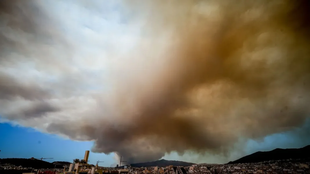
Greek wildfire rages near Athens; towns, hospitals evacuated as flames threaten capital’s outskirts.

Wildfire Crisis Near Athens
A massive wildfire has engulfed northeastern Attica, spanning over 30 kilometres. The blaze has consumed forests and properties, reaching Mount Penteli. Dozens of rescues from homes have taken place. Hopes rest on 29 aerial vehicles battling to contain the inferno.
Dramatic evacuations occurred overnight. Firefighters, residents, and volunteers fought flames reaching heights of 25 metres in some areas. The fire approached within 500 metres of Grammatiko, which had been evacuated earlier following a 112 emergency alert.
At 09:25, a new 112 message urged residents in Drafi, Dioni, and Dasamari to evacuate via Marathon Avenue towards Pallini. Citizens in Kallitechnoupoli were instructed to move towards Rafina via Marathon Avenue. A new fire front advanced towards Ano Souli.
Earlier, 112 alerts prompted the preventive evacuation of Penteli and Nea Penteli. Authorities decided to evacuate Penteli Children’s Hospital, PIKPA, and the close Military Hospital.
Another 112 message directed residents in Ntaou Pentelis to leave via Marathon Avenue towards Rafina.
Flames from the fire that broke out in Varnava reached the outskirts of Anatoli settlement near Nea Makri. Aircraft and helicopters dropped water at first light, helping to control hotspots. A 112 alert had earlier warned residents to move towards Nea Makri.
Additional 112 messages were sent to residents in Melissia, Politeia, Nea Erythrea, and Anthousa, advising them to remain vigilant and follow authorities’ instructions.
Key 112 alerts included:
- 10:01 – Fire alert for Kallitechnoupoli area
- 09:54 – Forest fire alert for Ntaou Pentelis area
- 09:25 – Evacuation notice for Drafi, Dioni, and Dasamari
- 06:20 – Anatoli settlement residents urged to move towards Nea Makri
The situation remains critical as firefighters and emergency services work tirelessly to combat the blaze and protect lives and property.
Crete on High Alert: Extreme Fire Risk Across the Island

The island of Crete has been placed under Red Code status due to an extremely high risk of wildfires. This alert level, issued by the Civil Protection authorities, signifies the most serious threat level for fire outbreaks across the entire region.
On Monday, 12 August 2024, the fire risk category for Crete has been set at level 4, which indicates a very high danger. This classification means that conditions are ripe for rapid fire spread, and any ignition could quickly escalate into a major incident.
The Civil Protection mechanism has been fully mobilised in response to this threat. All services and technical resources are on high alert, with the necessary personnel, equipment, and materials deployed to address any potential emergencies.
Given the severity of the situation, several crucial restrictions have been put in place:
- Burning of agricultural residues is strictly forbidden
- Use of fire in grasslands or other areas is prohibited
- Smoking near beehives is not allowed
- Hot work activities (e.g. welding, cutting) are banned
- Outdoor barbecues are not permitted
- Sky lanterns are prohibited
- Use of fireworks is forbidden
Additionally, preventive measures have been implemented to restrict access to high-risk areas:
- Entry, stay, and movement of people and vehicles are prohibited in:
- High-protection forest ecosystems
- NATURA 2000 sites
- Parks and groves
- Other vulnerable areas within Crete
These restrictions apply to specific regions in each prefecture:
Lasithi Prefecture:
- Azilakodaos, Agios Nikolaos Municipality
- Vathy, Agios Nikolaos Municipality
- Thriptis, Ierapetra Municipality
- Kalo Chorio – Meseleroi, Agios Nikolaos Municipality
- Selakano, Ierapetra Municipality
- Cypress Forest of Kritsa, Agios Nikolaos Municipality
- Krousta Forest, Agios Nikolaos Municipality
- Vai, Sitia Municipality (22:00 – 06:00 only)
Heraklion Prefecture:
- Symis, Viannos Municipality
- Rouvas-Zaros, Gortyna and Faistos Municipalities
- Koudoumas, Gortyna Municipality
- Keris, Malevizi Municipality
- Fourni, Archanes-Asterousia Municipality
- Giouchtas, Archanes-Asterousia Municipality
- Epanosifi, Archanes-Asterousia Municipality
Rethymno Prefecture:
Rethymno Municipality:
- Evligia Peri-urban Forest
- Prophet Elias Peri-urban Forest
- Agios Ioannis Peri-urban Forest
- Reforested area south of Arkadi Monastery
- Paradisos Armenon Grove
Municipality of Agios Vasilios:
– Peri-urban forest of Kissos,
– Peri-urban forest of Agouseliani
– Peri-urban forest of Ag. John,
– The area bordered by the springs of Kourtaliotis, the river Kourtaliotis (50 m on both sides of the bed) to Preveli lake,
– the Preveli area, which includes Lake Preveli from the Venetian Arch to the mouth of the river Kourtaliotis, the palm forest on both sides (except for the sandy part of the beach) and the afforested areas west of the lake
Municipality of Mylopotamos: Margarita Gorge
For the prefecture of Chania:
– European hiking trail E4 Balos Falasarna, Municipality of Kissamos
– European hiking trail E4 Krios – Elafonisi, Municipality of Kantanos Selinos
– European hiking trail Sougia-Gyaliskari, municipality of Kantanos Selinos
– European hiking trail E4 Sougia-Agia Roumeli, municipality of Kantanou Selinou and Sfakion
– Kathiana Windmill Park, municipality of Chania
– Prevantorio-Pefka , Municipality of Chania
– Agios Mattheos Forest, Municipality of Chania
– Agios Ioannis-Dasos, Municipality of Gavdos
– Forest of Corfu , Municipality of Gavdos
These measures aim to minimise the risk of fire outbreaks and protect both residents and the natural environment. It’s crucial for everyone on the island to remain vigilant and adhere to these guidelines.
The current situation underscores the importance of fire prevention and preparedness. Residents and visitors alike should:
- Stay informed about local fire risk levels
- Have an emergency plan ready
- Keep important documents and valuables easily accessible
- Maintain a clear area around properties
- Report any signs of smoke or fire immediately
Local authorities are working tirelessly to monitor the situation and respond swiftly to any potential fire outbreaks. Fire-fighting aircraft and ground crews are on standby, ready to tackle any incidents that may occur.
The extreme fire risk in Crete is part of a broader pattern of increased wildfire danger across Greece and the Mediterranean region. Climate change has contributed to longer, hotter summers, creating ideal conditions for fires to start and spread rapidly.
To mitigate these risks, the Greek government has implemented a range of long-term strategies:
- Improved forest management practices
- Enhanced early warning systems
- Increased investment in fire-fighting equipment and personnel
- Public awareness campaigns on fire prevention
Despite these efforts, the current Red Code status highlights the ongoing challenges faced by Crete and other fire-prone regions. It serves as a stark reminder of the need for constant vigilance and cooperation between authorities and the public.
Tourists visiting Crete during this high-risk period should take extra precautions:
- Follow all local guidelines and restrictions
- Avoid activities that could potentially start fires
- Be prepared to evacuate if necessary
- Stay updated on local news and emergency announcements
Hotel staff and tour operators have been briefed on the current situation and are equipped to provide guidance to visitors. Many accommodations have implemented their own fire safety protocols to ensure guest safety.
The agricultural sector, a vital part of Crete’s economy, is particularly vulnerable during this period. Farmers are urged to:
- Delay any activities that could potentially spark fires
- Ensure proper maintenance of machinery to prevent overheating
- Store flammable materials securely
- Have fire extinguishers readily available
Local communities across Crete are coming together to support fire prevention efforts. Volunteer groups are assisting with:
- Clearing dry vegetation from high-risk areas
- Patrolling forests and reporting suspicious activities
- Educating fellow residents about fire safety measures
This community engagement is crucial in complementing the work of professional fire-fighting services and enhancing overall preparedness.
The current Red Code status is expected to remain in effect until weather conditions improve. Factors such as temperature, humidity, and wind speed are closely monitored to assess the fire risk level.
While the situation is serious, it’s important to note that Crete has faced similar challenges in the past and has developed robust systems to manage fire risks. The island’s rugged terrain and diverse ecosystems require a tailored approach to fire prevention and management.
Key areas of focus for fire prevention on Crete include:
- Mountain regions with dense forest cover
- Coastal areas with dry scrubland
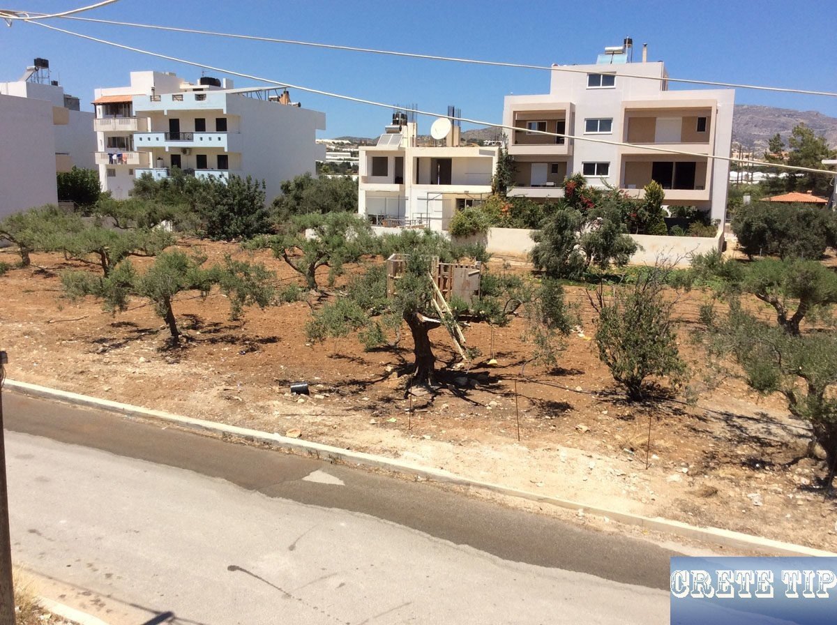
- Agricultural zones, especially olive groves and vineyards
- Interfaces between urban areas and wildlands
The Red Code alert serves as a critical reminder of the delicate balance between human activity and the natural environment on Crete. It
Common Questions About Greece’s Recent Wildfires
What sparked the recent blazes near Athens?
Strong winds and dry conditions fuelled the fast-moving wildfire near Athens. Hot temperatures and low rainfall created ideal conditions for fires to spread rapidly. Climate change has increased the frequency of heatwaves and droughts in Greece, raising fire risks.
Which neighbourhoods have been cleared due to fire danger?
At least 11 towns and villages surrounding Athens were evacuated as the flames approached. Authorities ordered residents to leave areas including Varnava and parts of Penteli as a safety precaution. The exact locations may change as the fire spreads.
How are medical facilities being safely emptied?
Emergency services are coordinating evacuations of hospitals in the fire’s path, including a children’s hospital and a military medical centre. Patients are being relocated to other facilities farther from danger. Ambulances and special vehicles are transporting those unable to leave on their own.
What methods are being used to fight the flames?
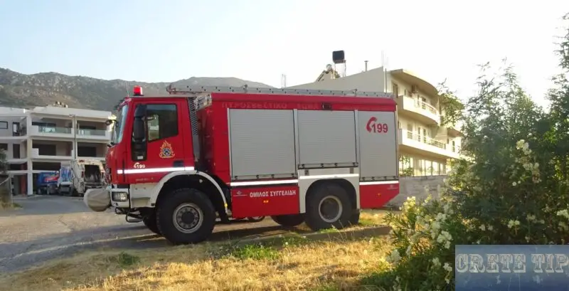
Firefighters are battling the blaze with:
- Water-dropping aircraft
- Fire engines
- Ground crews
- Bulldozers to create firebreaks
How has air quality in Athens been affected?
Smoke from the fires has likely reduced air quality in parts of Athens. Those with respiratory issues may experience difficulties. Residents are advised to limit outdoor activities and keep windows closed when smoke is present. Air quality updates are being issued regularly.
What support is offered to those impacted by the fires?
The government is providing:
- Temporary housing for evacuees
- Emergency financial assistance
- Medical care for injuries
- Counselling services
Volunteers and charities are also offering food, clothing and other essentials to displaced residents.
Where can I download the warning apps of the Greek Civil Protection?
– on GooglePlay for Android devices: CivilCrete Talos
– in the AppStore for Apple devices: CivilCrete Τάλως


